Steven Holtzman - West Coast Aerial Photography, Inc.
An Unconventional Project
We've been long-time users of Pix4D's mapping software and it has been a delight to see the evolution of the software. Our projects have always pushed the limits of the software, whether it was in project scope, camera resolution, or lighting conditions. Like any other tool, the more you use it the better you get at it. This project really pushed the software to it's limits and we were pleasantly surprised that with some minor adjustments in the settings, the final product was a success.
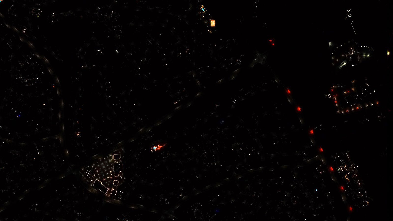
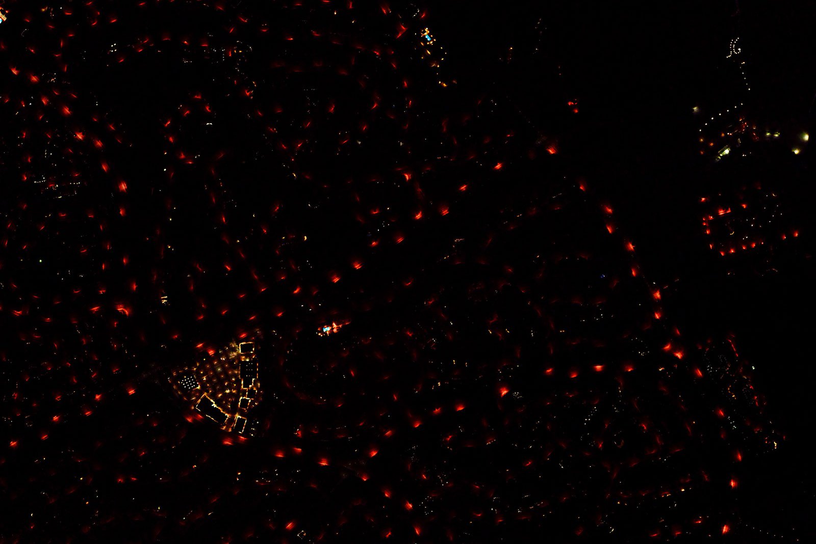
Aerial map of a section of Temecula, California, after LED lighting conversion, which increased light coverage while reducing operating costs and lowering light pollution
Primarily designed for UAVs, Pix4DMapper is a mapping software that works by analyzing many images with significant overlap and uses this data to construct a 3D model of the photographed area. Due to the vast amount of data required for good results, this is geared for well-lit, daytime conditions and not dimly lit areas at night. Fortunately, the Sony Alpha A7R IV sensors were able to capture sufficient details for the Pix4D software to successfully process (with some additional testing and refinement), leading to a successful night-time mapping mission.
It was a pleasure speaking to Eloise and Barbara at Pix4D about this specific project and how surprised we were at the results, considering the unusual conditions and non-traditional dataset. Always nice to hear from the team in Switzerland.
See the original article here