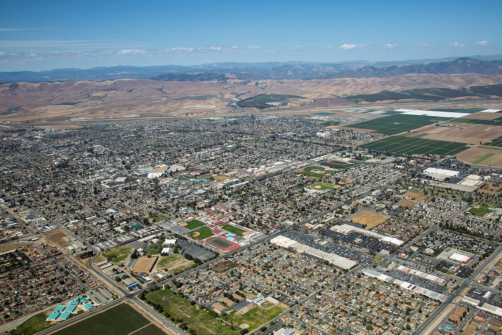
The City of Santa Maria, located in beautiful Central California, is a scenic marvel, filled with distinct neighborhoods and numerous attractions. From the serene vineyards to the bustling Santa Maria Town Center, each corner of this city has a tale to tell, best captured through aerial photography.
What is Aerial Photography?
Aerial photography involves capturing images from an elevated viewpoint, typically through a camera in an aircraft. This specialized branch of photography offers unique perspectives unachievable with standard ground-level photography. With aerial photography, the sky is literally the limit—offering unparalleled opportunities for creativity. These images can be utilized for a variety of purposes, including marketing campaigns, real estate listings, and more.
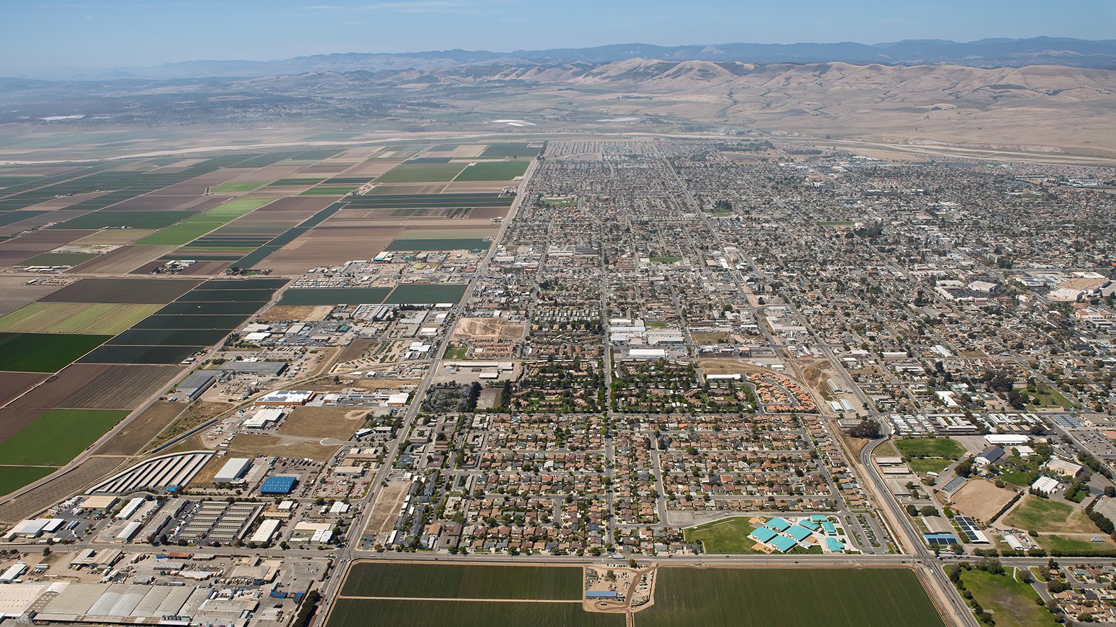
High-altitude aerial photograph showing the stark, geometric boundary where the urban expansion of Santa Maria meets the fertile agricultural fields of the Santa Maria Valley.
The Benefits of Aerial Photography in Santa Maria
Santa Maria, with its captivating landscapes and iconic locations, such as the Foxen Canyon Wine Trail or the Historic Santa Maria Inn, provides numerous opportunities for stunning aerial photography. Whether you aim to capture the essence of your property for potential investors or document the progress of a development project, aerial photography is an exceptional solution.
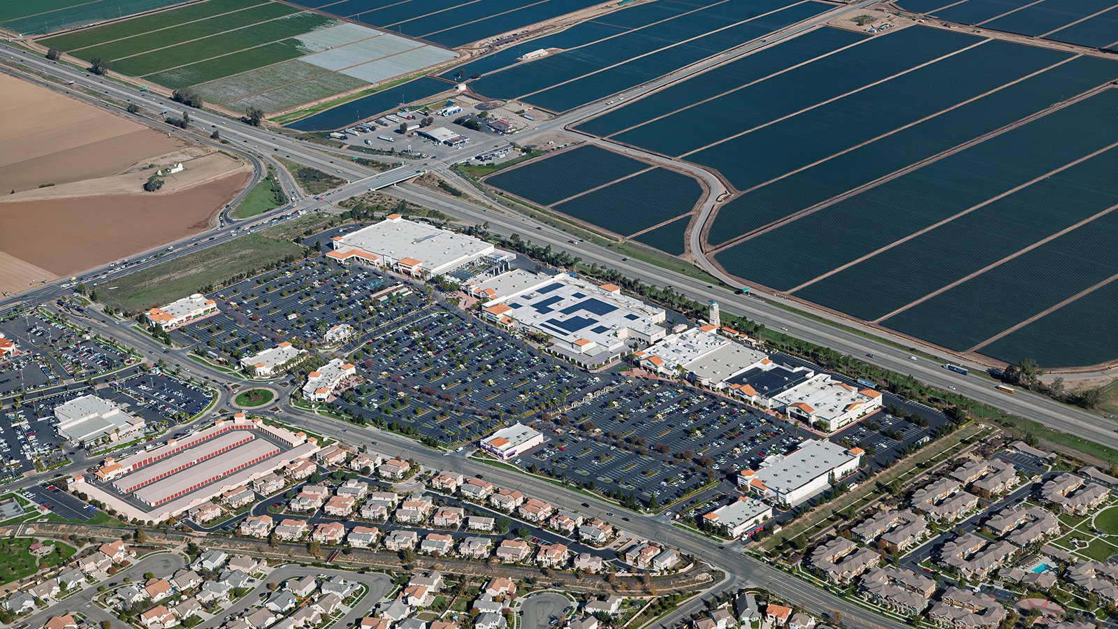
An aerial view of The Crossroads at Santa Maria shopping center, a major commercial destination serving the California Central Coast.
Marketing Real Estate
Real estate agents can leverage aerial photography to market residential or commercial properties listed for sale or rent in Santa Maria Valley. Aerial imagery provides potential buyers and renters an immediate impression of the property and its surroundings. This is particularly beneficial when marketing expansive properties where ground-level photographs fail to capture their full extent.
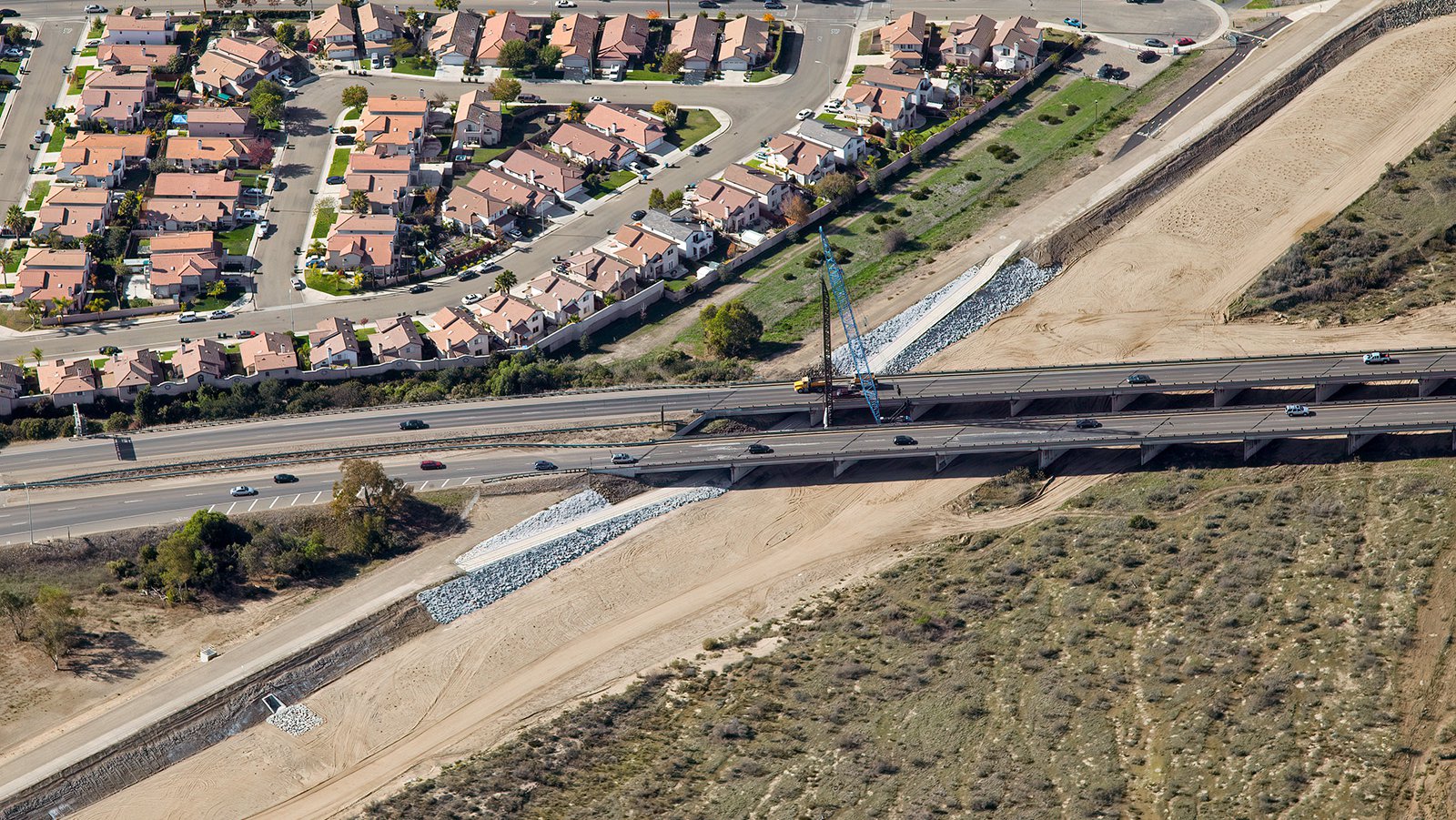
Aerial photo of an infrastructure development and bridge reinforcement project over the Santa Maria River channel.
Monitoring Progress on Construction Projects
Aerial photography is also an invaluable tool for tracking progress on large-scale construction projects such as malls, housing complexes, or industrial facilities. Having periodic aerial photographs taken allows contractors and developers to monitor the project's development remotely, saving both time and money. These images also serve as an effective record for insurance purposes and can potentially resolve legal disputes.
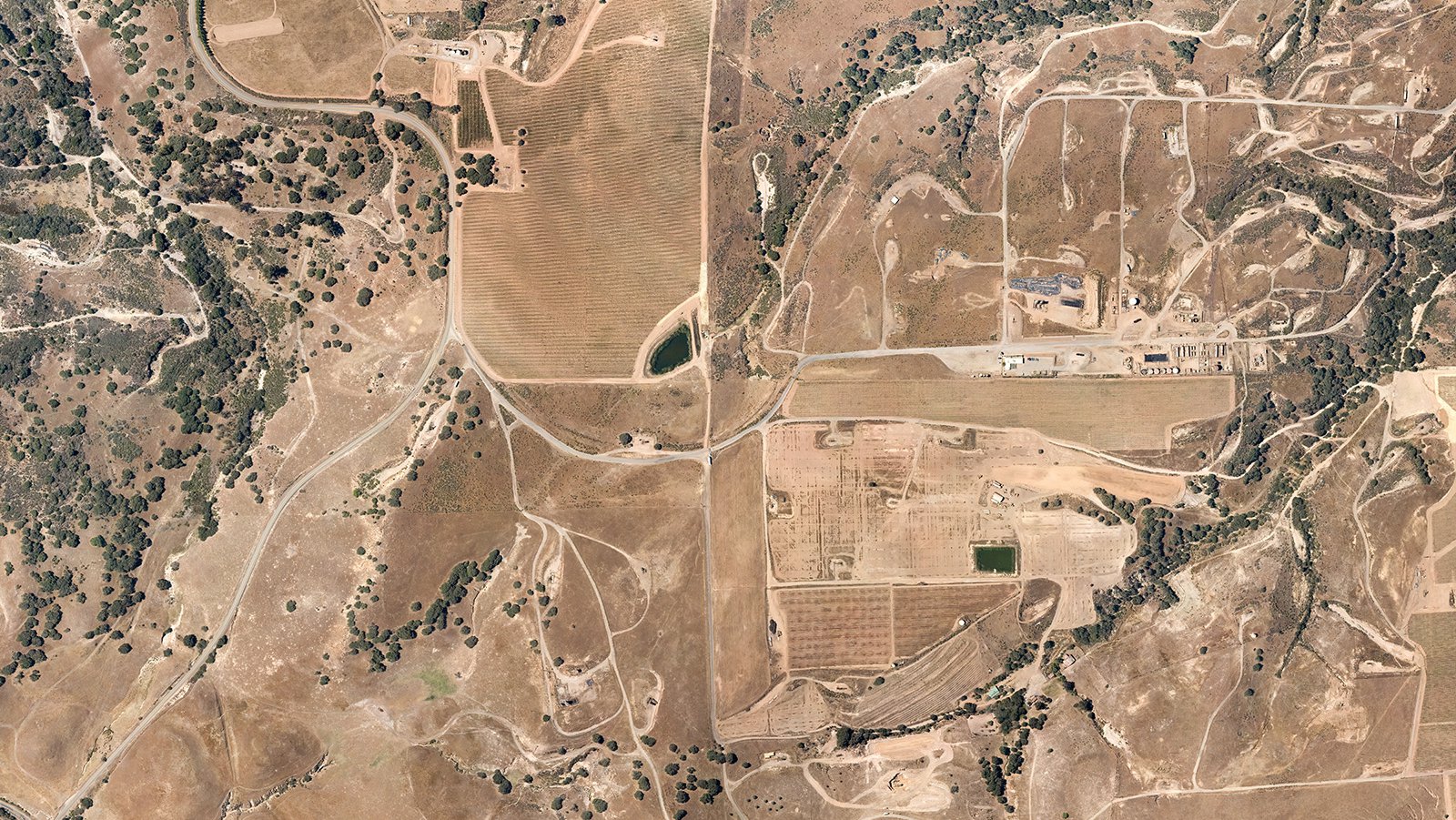
A top-down aerial look at the Santa Maria hills, where rolling premium vineyards share the rugged landscape with Orcutt oil fields.
Mapping Entire Neighborhoods
Beyond the aesthetic appeal, aerial photography has practical uses as well. High-resolution cameras equipped on aircraft can survey large areas, generating precise and high-quality images for GIS and CAD purposes. These aerial maps can be used for urban planning, or by contractors to identify potential leads—for example, roofing contractors can easily identify rooftops requiring maintenance or repair.
So, whether you're seeking a way to monitor your construction project, or you desire captivating images that capture the unique charm of Santa Maria, aerial photography is the perfect solution!
Get in Touch Today
From capturing the vibrant ambiance of Santa Maria Valley to the tranquil beauty of the vineyards, we aim to encapsulate the unique essence of Santa Maria in each photograph. Get in touch with Mark at West Coast Aerial Photography, Inc. today to experience the best of aerial photography!