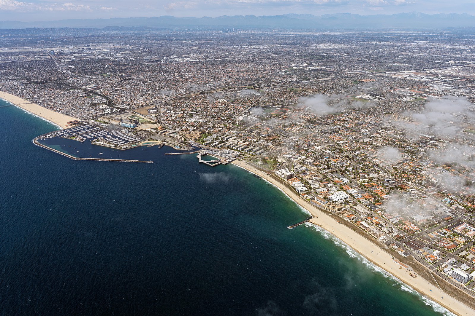
The coastal city of Redondo Beach boasts a unique blend of picturesque beachfront, bustling city life, and quaint residential neighborhoods, each having its own story to tell. From the inviting sandy beaches to the historic Redondo Beach Pier, aerial photography can weave these narratives in a striking and intimate fashion.
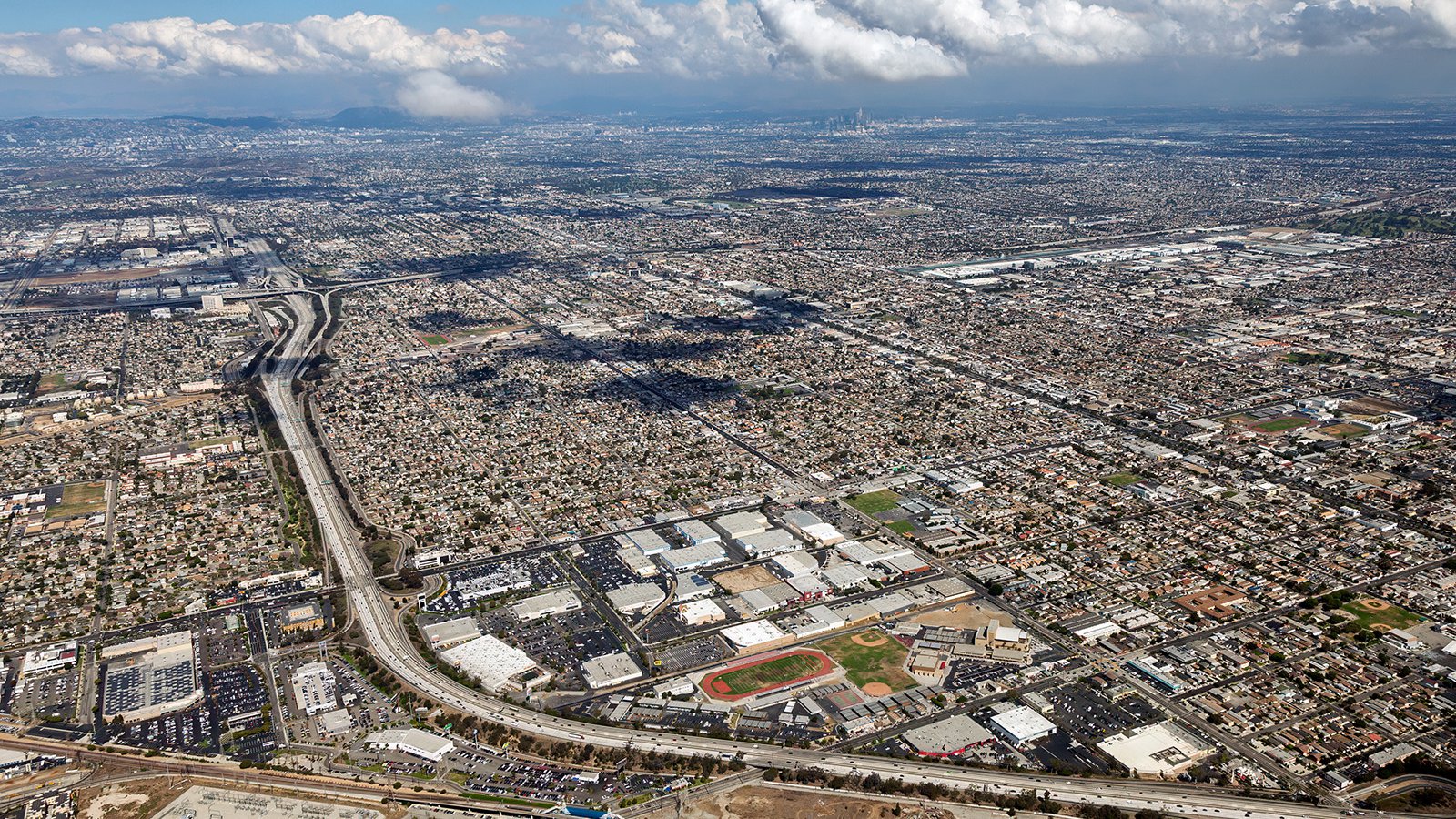
Wide aerial cityscape of the Los Angeles basin showing freeways, commercial buildings, and endless urban development stretching to the distant horizon.
What is Aerial Photography?
Aerial photography captures images from a bird's-eye view, typically from an aircraft. This form of photography unveils perspectives that ground-based photography cannot compete with, offering distinct and dramatic views of landscapes, cityscapes, and landmarks. Aerial photography can be used for an array of applications, including advertising, real estate listings, progress tracking for construction projects, and more, broadening the boundaries of visual storytelling.
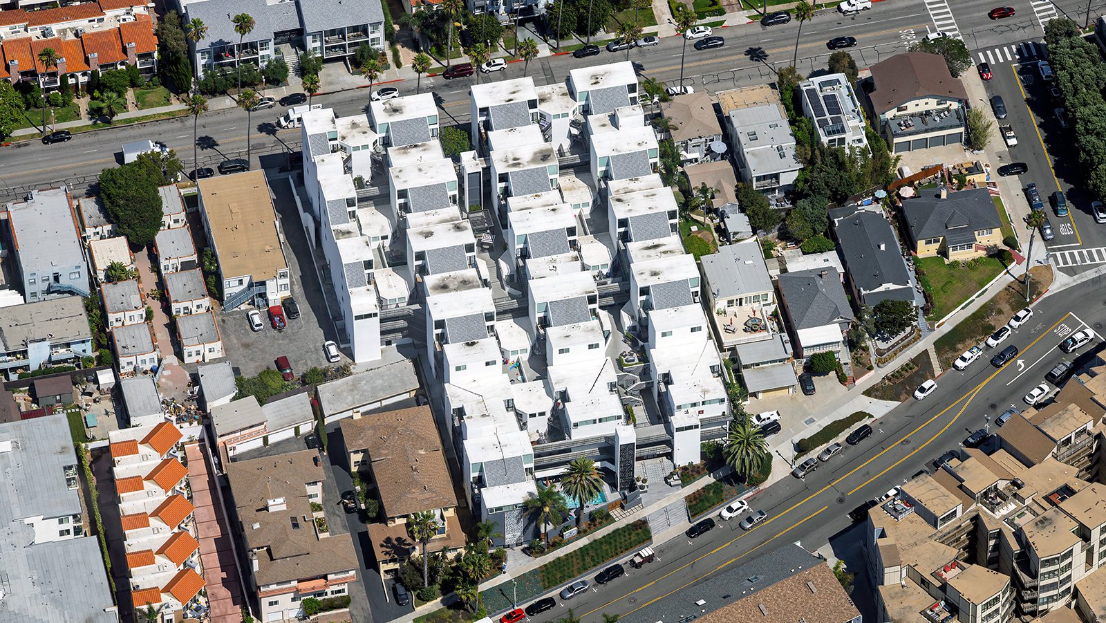
Close-up oblique aerial photo of modern apartment community with white, block-like architecture, surrounded by older, traditional residential buildings.
The Advantages of Aerial Photography in Redondo Beach
In Redondo Beach, the scenic coastline and charming cityscape provide a rich variety of visuals for aerial photography. Whether you're showcasing a beachfront property to prospective buyers or documenting the evolution of a local construction project, aerial photography presents an optimal solution.
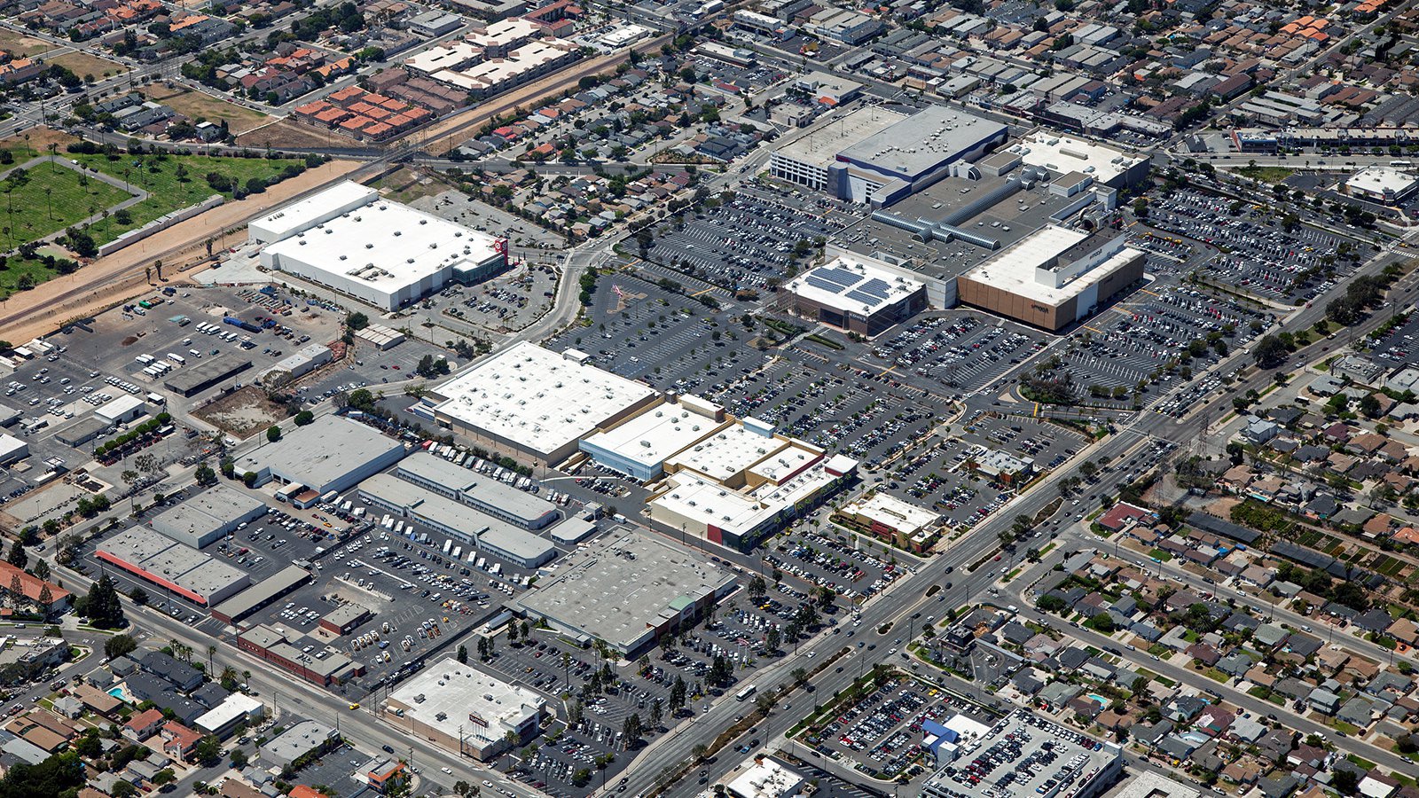
High-altitude aerial photograph showing nearly full parking lots at the South Bay Galleria Shopping Center.
Promoting Real Estate
Real estate agents can leverage aerial photography to enhance the marketing of residential or commercial properties in Redondo Beach. Aerial imagery offers potential clients a comprehensive view of a property and its nearby attractions, providing a unique perspective that ground-level photos may fail to depict, particularly for large estates or waterfront properties.
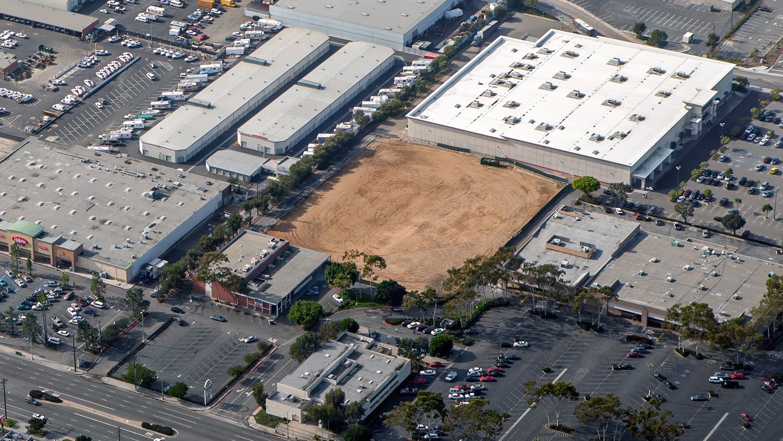
Oblique aerial view of a commercial area with multiple large stores and a prominent parcel of cleared land ready for construction.
Progress Tracking for Construction Projects
Aerial photography also excels in monitoring progress on construction projects, whether they are residential complexes, commercial structures, or public facilities. By arranging periodic aerial photo shoots, contractors can efficiently monitor and document the project's progress without the need for continual on-site visits. This method not only saves time and resources but also provides a historical record that can serve useful in insurance and legal contexts.
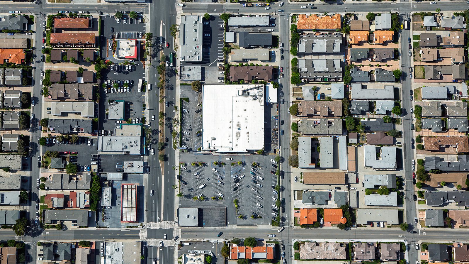
Vertical aerial photograph of a large white commercial building and parking lot surrounded by densely packed single-family homes and apartment complexes.
Surveying Entire Neighborhoods
Aerial photography serves practical purposes as well, offering a convenient method to survey extensive areas. High-resolution cameras attached to aircraft can generate precise and detailed imagery suitable for Geographic Information System (GIS) and Computer-Aided Design (CAD). These aerial photo maps can support urban planning or provide invaluable data to contractors, such as roofers who can identify roofs requiring renovation.
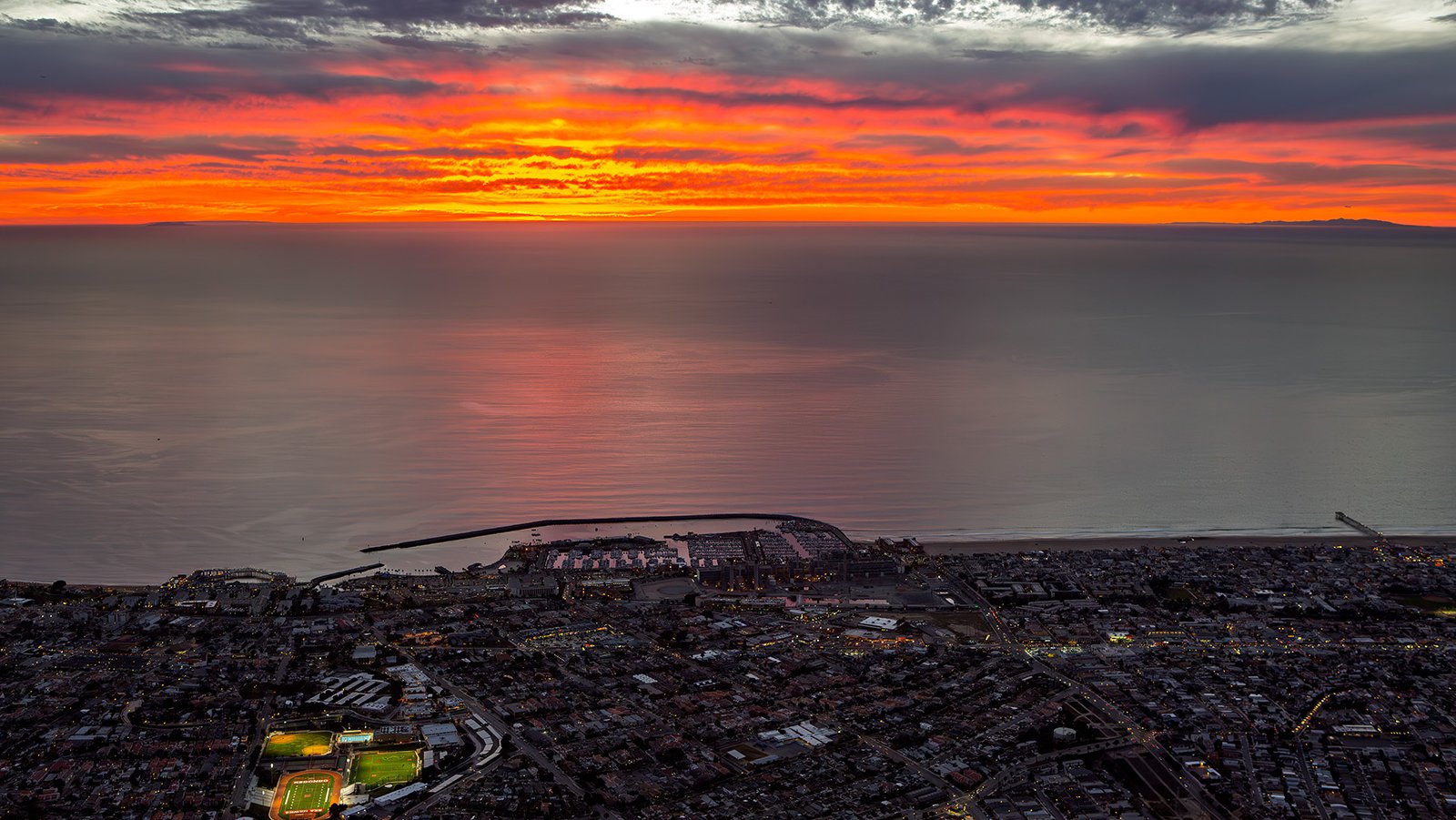
Dramatic sunset over the Pacific Ocean with intense red clouds, showing the Redondo Beach harbor.
Whether you're aiming to keep track of your construction project, promote your real estate listing, or simply want a captivating aerial photograph of Redondo Beach’s charm, aerial photography is your go-to solution!
For top-tier aerial photography services in Redondo Beach, reach out to Mark and Steven at West Coast Aerial Photography, Inc!
Contact Us Today
From stunning aerial views of the vibrant Redondo Beach Pier to serene sunset shots of the tranquil coastlines, we strive to encapsulate the distinctive beauty and spirit of Redondo Beach in every photograph we take.