San Bernardino, nestled in the heart of Southern California, boasts a panorama of unique sites and attractions. From the iconic San Bernardino Mountains to the sprawling cityscape, the tale of this city unfolds through the lens of aerial photography.
What is Aerial Photography?
Aerial photography is a specialized form of photography, capturing images from a heightened perspective. Usually, these photos are taken from an aircraft, offering unique views uncommon with ground-level photography. The use of aircraft to capture images of landscapes, cities, and monuments opens up a world of creative possibilities. These images can be effectively used in advertising, marketing campaigns, real estate listings, and more.
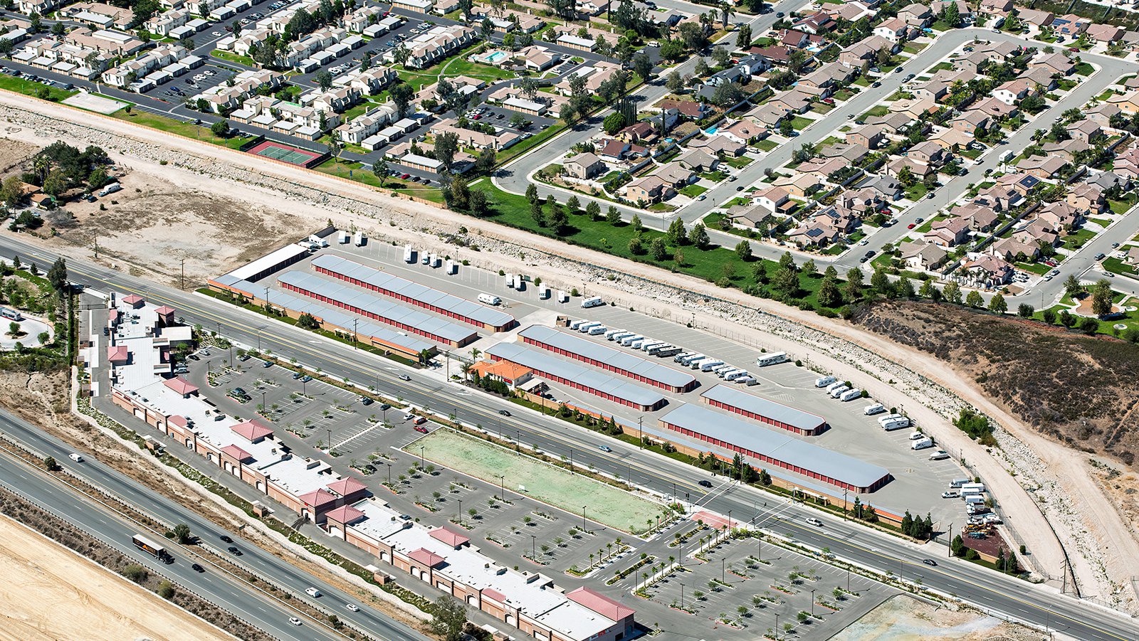
A modern commercial complex featuring a large self-storage facility and retail space, complete with ample parking and RV storage.
Benefits of Aerial Photography in San Bernardino
San Bernardino boasts some of the most visually engaging locations in all of Southern California. From the city's downtown area to the sprawling residential communities, the visual potential for aerial photography is immense. Whether you aim to showcase a property to prospective buyers or document the progress of a construction project, aerial photography is the perfect solution.
Marketing Real Estate
Aerial photographs offer a unique selling point for real estate agents marketing properties in San Bernardino County. These high-altitude shots provide potential buyers and renters a comprehensive view of the property and its surrounding area—a vista that ground-level photographs often fail to provide, especially for larger properties.

A birds-eye view of the construction of a massive industrial warehouse alongside the Southern California’s essential rail infrastructure.
Monitoring Progress on Construction Projects
Tracking progress on expansive construction projects, such as housing communities or commercial complexes, is another excellent use for aerial photography. Regular aerial photo shoots provide a detailed overview of the project's development, reducing the need for continual in-person inspections, saving both time and money. These photographs also serve as a useful reference for insurance purposes, potentially saving developers significant resources in the event of legal disputes.
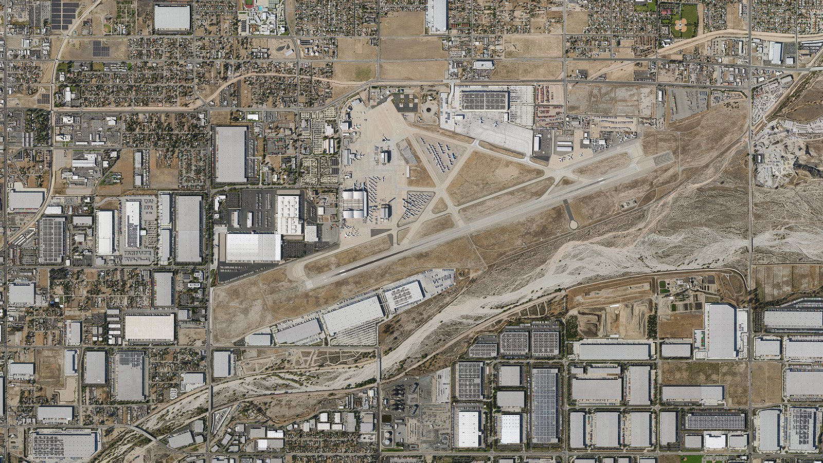
Orthophoto of San Bernardino International Airport, a former Air Force base turned global cargo powerhouse.
Mapping San Bernardino Neighborhoods
Aerial photography isn’t just about stunning visuals—it also holds practical applications. With the use of high-resolution cameras mounted on aircraft, large areas can be surveyed in less time, producing high-resolution imagery for GIS and CAD applications. Aerial photo maps can be extremely beneficial for planning purposes, or for contractors to identify potential projects such as roof repairs.
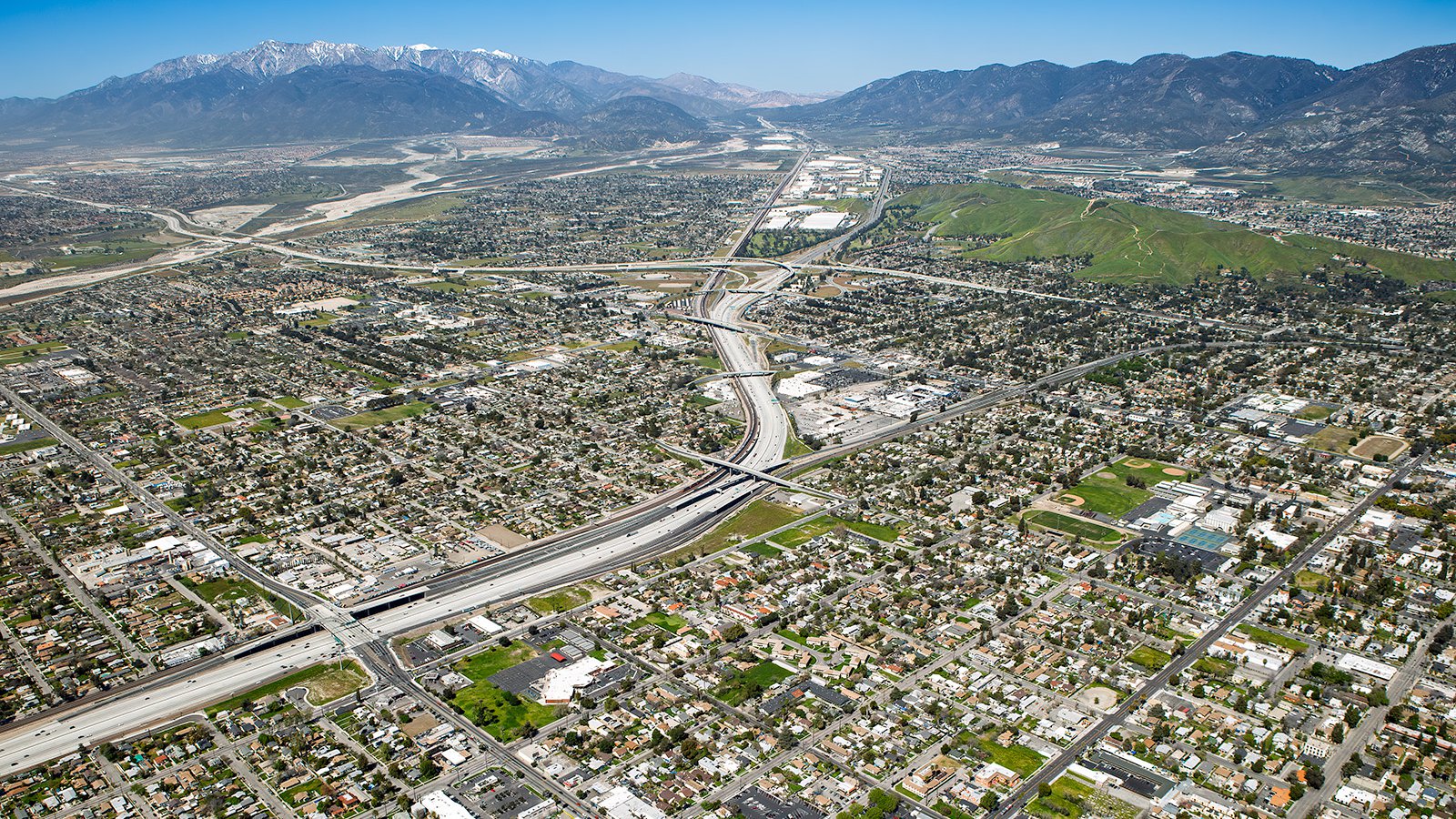
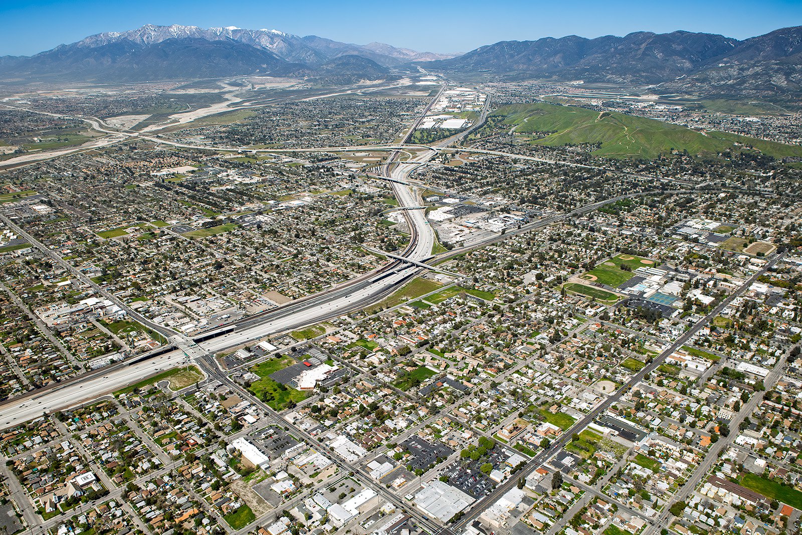
The sprawling San Bernardino cityscape leads the eye toward the snow-capped peaks of the Cajon Pass.
Whether monitoring a construction project or capturing the distinct beauty of San Bernardino's cityscape, aerial photography offers the ideal solution. If you're seeking top-tier aerial photography services in San Bernardino, look no further than Mark and Steven here at West Coast Aerial Photography, Inc.!
Get in Touch Today
From the beautiful views of the San Bernardino National Forest to the bustling city center, we aim to capture the unique essence of San Bernardino in every photograph. Connect with us today to bring your vision to life.