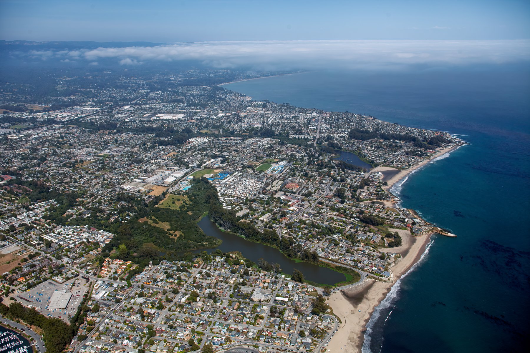
Santa Cruz is a city of stunning natural beauty, from the majestic redwoods of the Santa Cruz Mountains to the beautiful coastline of Monterey Bay. Through the lens of aerial photography, we can capture the unique charm and distinctive spirit of this coastal gem.
What is Aerial Photography?
Aerial photography is the practice of capturing images from an elevated vantage point, most often from an aircraft. This form of photography offers a perspective that ground-level photography simply cannot achieve. Aerial photographers utilize aircraft to snap breathtaking images of landscapes, cities, landmarks, and more for a variety of uses such as advertising, marketing initiatives, real estate listings, and beyond, opening up an infinite realm of creative possibilities.
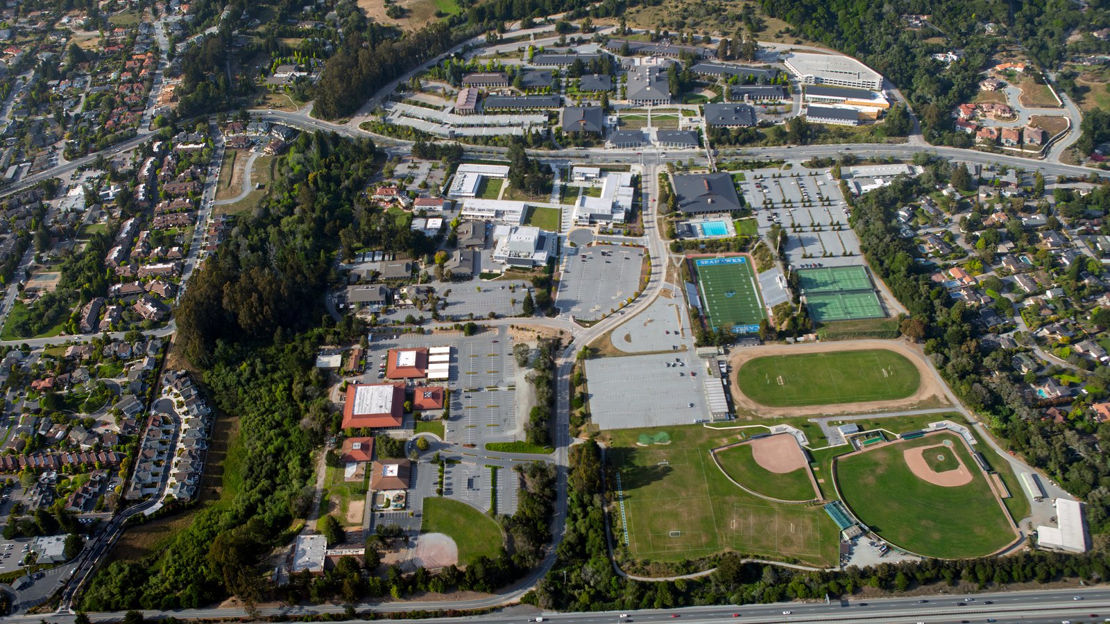
Oblique aerial view of Cabrillo College campus in Santa Cruz County showing baseball fields, football stadium, parking lots, and classroom buildings surrounded by green hills.
The Benefits of Aerial Photography in Santa Cruz
Santa Cruz offers an array of iconic landmarks and beautiful landscapes, from the historic Santa Cruz Beach Boardwalk to the serene beauty of the Natural Bridges State Beach. Whether you are showcasing a property to prospective buyers or documenting the progression of a construction project, aerial photography offers an unparalleled solution.
Marketing Real Estate
Real estate agents can leverage aerial photography to effectively market residential or commercial properties listed for sale or rent in Santa Cruz County. Aerial photographs provide potential buyers and tenants with a comprehensive view of the property and its surrounding areas. This is especially beneficial when marketing large properties where ground-level photographs fall short in capturing the breadth and magnitude of the location.
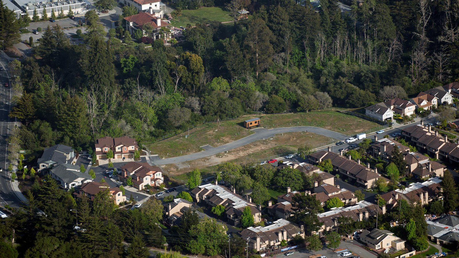
Aerial view of a cleared residential construction lot and cul-de-sac surrounded by townhomes and dense green pine trees in Santa Cruz, California.
Monitoring Progress on Construction Projects
Aerial photography also serves as a valuable tool for tracking progress on major construction projects like shopping malls, residential complexes, or industrial buildings. Regularly scheduled aerial photoshoots allow contractors and developers to monitor the ongoing progress without having to document their work manually. This efficient approach not only saves valuable time and resources but also provides an accurate visual timeline of the project’s development. These photographic records can be used for insurance purposes, potentially saving significant time and money in the event of legal disputes.
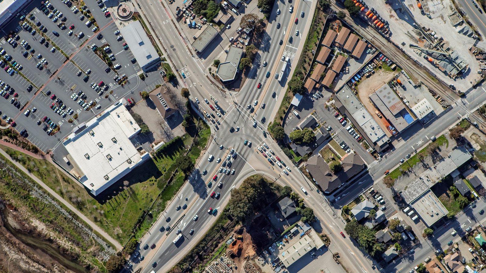
A top-down (nadir) aerial photograph of a busy multi-lane highway intersection, commercial parking lots, and surrounding industrial buildings in Santa Cruz, California.
Mapping Entire Neighborhoods
Beyond their aesthetic appeal, aerial photographs also offer practical benefits. Using aircraft equipped with high-resolution cameras, large areas can be surveyed quickly, yielding accurate and high-definition imagery for GIS and CAD applications. These aerial maps can be used for planning purposes or to generate leads for contractors, such as roofers who can easily identify roofs requiring repair.
Whether you’re seeking to monitor your construction project's progress, or just want beautiful photographs to adorn your walls that capture the unique charm of Santa Cruz, aerial photography is the perfect solution!
For exceptional aerial photography services in Santa Cruz, look no further than Mark and Steven at West Coast Aerial Photography, Inc.!
Get in Touch Today
From enchanting views of the Santa Cruz Harbor to captivating shots of the Santa Cruz Mountains, we aim to capture the unique character and spirit of Santa Cruz in every photograph we create.